The last half of the module, "Management of Aquatic Protected Areas', looked at several different marine habitats with the final assignment asking me to 'designate' a MPA in the Ria Formosa in the southern tip of Portugal. This required using GIS for mapping (which I talked about in my last blog) and DPSIR (Drivers, Pressures, States, Impacts, Responses) analysis. This is a framework in which you can look at and analyse the important and interlinked relationship between social and environmental factors, particularly important when land use is shared.
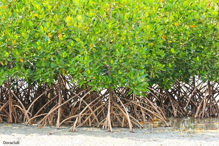
For this blog I thought I’d go through some of the different marine habitats and stressors we went though and list some factoids, rather than delve back into the heavy world of policy and regulation.


