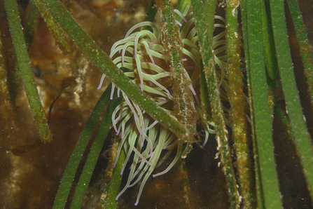
At the beginning of the year we focused on mapping Gansey bay. We also worked to identify the most northerly extent of the seagrass bed in Ramsey bay. There is still more to map in the area for 2025.
Work has also continued in Derbyhaven Bay, where we have been monitoring the existing beds and searching for new ones. Michelle and the BSAC team found another two more small patches that have been added to the map. Additionally, the small patch we pegged out in 2023 has expanded, which is a positive sign.
All the mapping work has contributed to the IOM Government blue carbon maps and these should be available via the Environment Map on the Government website in March. There are still two potential new sites that need to be identified but this year we want to focus more on health assessments of these beds but more on this to come in due course. So, a massive thank you to everyone who has helped out and submitted forms.

